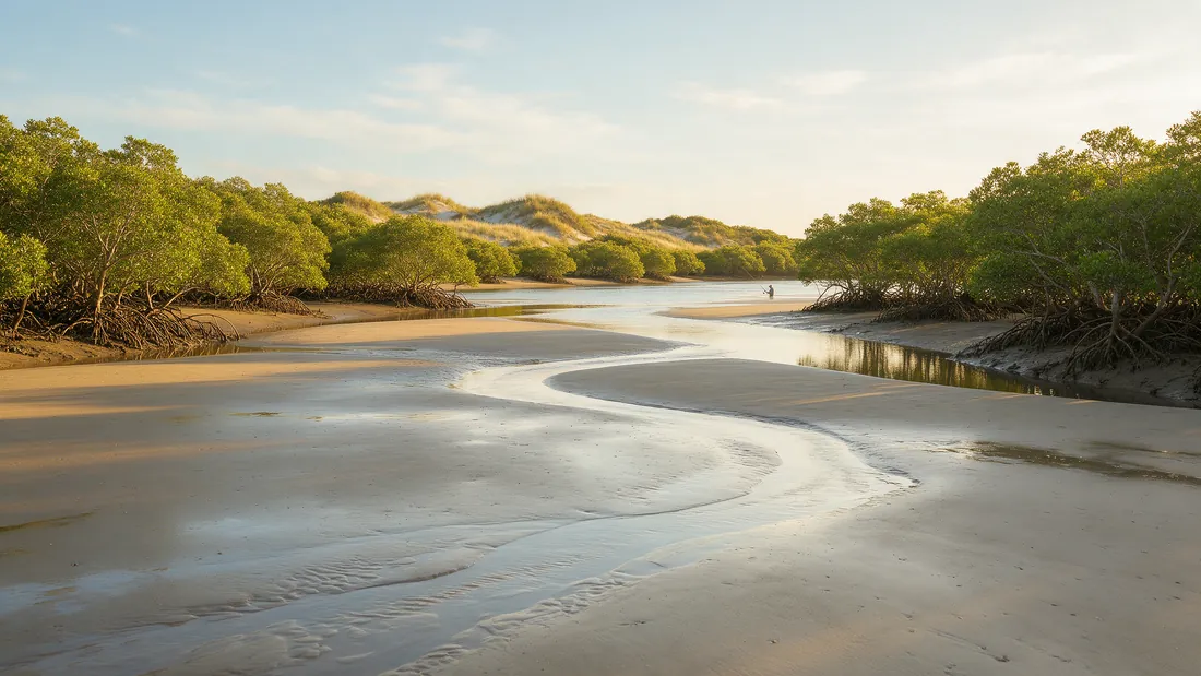
Why the tide comes first on the coast
On an Australian estuary, bay or beach the tide decides more than the weather does. Bream feed on the run, flathead lie where the falling tide drains the flats, whiting work the sand on the rise, mulloway hold in the channels at the change, and on the tropical coast the whole fishery, barramundi on the run-off and the creek mouths, moves with metres of water. The coastal water pages on this site put the tide panel next to the report for that reason, and the fishing-times module uses the modelled tide changes as one of its inputs.
What the panel shows, and what it is
The panel shows the next highs and lows and an hourly curve for the day. The curve is sea level height above mean sea level from Open-Meteo’s marine model, computed for the coordinates of the water. It is a model: it is not the Bureau of Meteorology’s tide prediction, which is derived from harmonic analysis at each standard port and is copyright, published for personal use and not for republication without a licence. This site does not copy it, and the panel is labelled “modelled” so nobody mistakes one for the other. The Bureau’s official table is linked from every coastal page for the exact minute.
How far the model can drift
On an open coast the model and the official table usually agree on the direction of the tide and the rough time of the change. Inside a long bay, an estuary behind a bar, or a river with a tidal reach, the model can drift by tens of minutes and more, because it does not know the bar, the channel or the entrance that delays the water. In Port Phillip the tide at Melbourne runs hours behind the Heads; in a coastal lake with a shoaling entrance the tide may barely reach the lake at all. Use the curve for direction and size, and take the minute from the Bureau where the minute matters.
Australia has more than one kind of tide
The east coast from Sydney to Brisbane has two roughly equal tides a day of a metre or two. The Kimberley and the Pilbara have some of the largest tides on earth, with ranges of many metres at Broome and Derby, and the flats and creeks there are a different fishery on every hour. The Gulf of Carpentaria at Karumba and Weipa has irregular tides, often one a day, where the model is least reliable and the official table most needed. South Australia’s gulfs have small tides with the “dodge tide”, a period around neaps when the water barely moves for a day. Bass Strait squeezes the tide so the north coast of Tasmania and the Strait islands run it hard through the channels. The editorial guide of each coastal water says which of these it has.
Springs, neaps and the moon
Around the full and new moon the tides are larger, the springs; around the quarters they are smaller, the neaps. Big springs move more water, which stirs the flats, colours the estuaries and concentrates fish on the edges of the run; neaps give clearer water and slower drifts that suit whiting on the flats and squid over the weed. The moon module on every page shows the phase, and the tide panel shows the range for the day, so you can see whether you are on a spring or a neap without a table.
Reading the tide with the weather
A falling barometer ahead of a front on a rising tide at dusk is the best combination the coastal pages can show, and the fishing-times module will put its brightest bars there. A strong onshore wind on a big spring tide colours the water and pushes the fishing into the lee and the estuaries. On the beaches the falling tide exposes the gutters and the rising tide fills them, and the gutters fish on the rise at dawn and dusk. The tide is one input of the bite forecast, alongside sunrise, sunset, the moon and the day’s score; it is not the whole of it, and on a lake it is not there at all.
What would change this page
If the Bureau of Meteorology grants a data licence for its tide predictions, the coastal pages will show the official times and say so, and the change will be recorded in the verification log. Until then the model stays, labelled, and the official table stays linked. That is the site’s rule for every number: read from a source that can be named, or labelled as a model, never presented as more than it is.
Common questions
Are the tide times on this site official?
No. They come from an open marine model and are labelled “modelled”. The Bureau of Meteorology publishes the official predictions, linked from each coastal page.
Why can the modelled tide be wrong inside a bay?
The model computes sea level for open coordinates and does not know the bar, the channel or the entrance that delays the water inside a bay or estuary. The drift can reach tens of minutes and more.
Which tide is best for fishing?
It depends on the water and the fish: the run for bream, the falling tide draining the flats for flathead, the change in the channels for mulloway. The editorial guide of each coastal water says which tide it fishes on.
Why is there no tide on a lake page?
Because there is no tide. Lake and reservoir pages show the storage level from a Bureau gauge where one is published, and say when there is none.