Where it's on today
Every one of our 23 benchmark waters has a live read this morning. 14 are scoring 4 out of 5 or better and 5 are slow. Water runs 54 F to 85 F. Pressure is falling on most of them, the trend our model scores highest. 2 have a better-than-even chance of rain.
Lake Conroe
The Houston area's big-bass playground: 21,000 acres of hybrids, brush-pile bass and reliable catfish.
Sam Rayburn Reservoir
The biggest lake wholly inside Texas, and one of the best bass fisheries in America.
Lake Fork
The trophy bass factory of Texas: more 13-pound ShareLunkers than any water in the state.
Mille Lacs Lake
Minnesota's walleye legend: 132,000 acres of reefs, mud flats and the state's most storied ice fishery.
Madison River
Montana's Fifty-Mile Riffle: the most fished, most loved trout river in the state, and still worth every cast.
Lake Lanier
Atlanta's big water: 38,000 acres of deep, clear Chattahoochee reservoir with magnum spotted bass and a serious striper fleet.
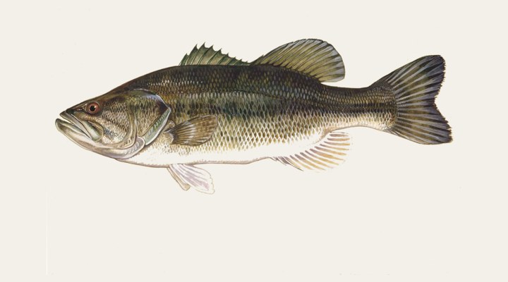
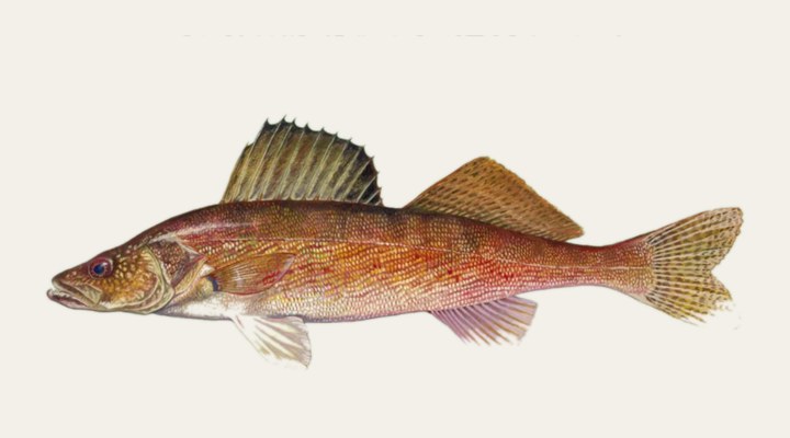
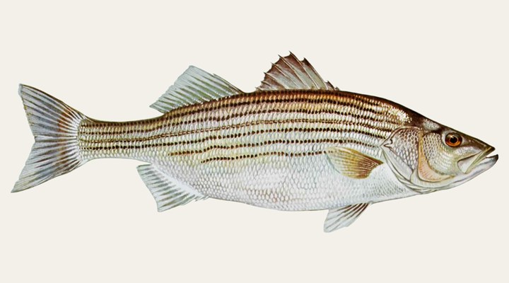
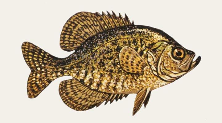
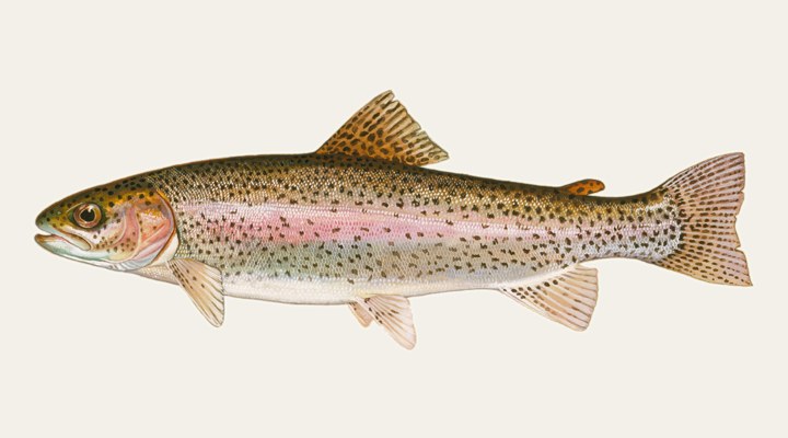
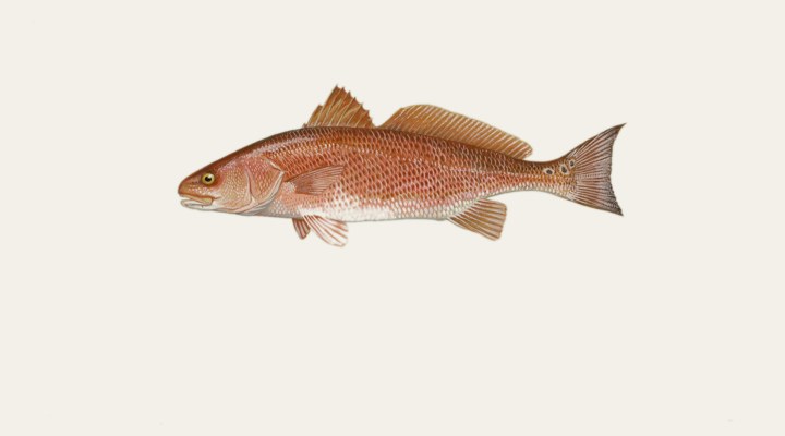
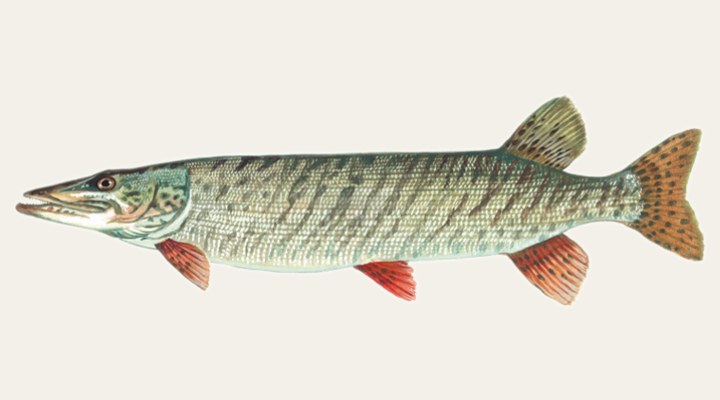
Know your fish
Field-guide plates, seasonal playbooks and the best waters for every species we cover.

The salt, covered like the lakes.
From Galveston's jetties to Montauk's boulder fields: 110 coastal spots with real NOAA tide tables, surf-minded reports and the honest windows for moving water.
Saltwater reports →Learn the water
The science behind every report, in short honest guides.
Before you go: the licence
What it costs in 46 states, checked against the agency that sells it. Including the stamps states charge on top.
Florida
Fresh and salt are two licences here, and the shoreline one is free but still compulsory.
North Carolina
Inland and coastal are separate. Only residents can buy the licence that covers both.
California
The most expensive state in the country for a visiting angler.
Michigan
One all-species licence, no stamps. But the year ends 31 March whatever date you buy.
Texas
Sold as packages: the all-water one costs less than buying fresh and salt separately.
All 46 states →
Sort every state by price, by what visitors pay, or by minimum age → · Free fishing days in every state →
Open right now
Seasons that are open today, worked out from the rules the agencies publish. Not a list someone typed in last spring.
Washington
Coastal waters (Marine Areas 1 to 3, and 4 west of the Bonilla-Tatoosh line)
Florida
Gulf state waters, excluding Monroe County
Louisiana
Statewide
Michigan
Lower Peninsula inland waters
Maryland
Chesapeake Bay and its tidal tributaries
All fishing seasons →
How it works
Live data, all night
USGS gauges, NOAA tide stations, weather models, sun and moon: we read the same instruments biologists use, for every water we cover.
An honest report, every dawn
At 6:30 each morning the day's report is generated: activity score, species plan, prime windows. A slow day is called a slow day.
Anglers close the loop
Real reports from real anglers refine what the data says. Share a catch and make the page better for the next person on the water.
Browse by state
996 flagship waters across 50 states, with full coverage rolling out from here.