Where it's on today
Every one of our 16 benchmark Canada waters has a live read this morning. None reaches 4 out of 5 and 3 are slow. Water runs 3 °C to 10 °C. Pressure is rising on most of them, which costs a point in our model when the sky is clear. 9 have a better-than-even chance of rain.
Bay of Quinte
The Bay of Quinte: big walleye in fall and through the ice until 1 March, and summer bass, between Belleville, Trenton and Prince Edward County.
Campbell River
Campbell River on Discovery Passage: chinook and coho in the tide lines, the Tyee Club’s rowboat tradition and Discovery Fishing Pier.
Fraser River at Mission
The lower Fraser at Mission, where the CPR Bridge marks the tidal boundary: catch-and-release white sturgeon and salmon only by DFO notice, with a live gauge.
Lake of the Woods
Lake of the Woods at Kenora: walleye, muskie, smallmouth and pike among the islands, with lake trout mostly catch-and-release and a live level gauge at Keewatin.
Lake Winnipeg
Lake Winnipeg at Gimli: walleye and sauger in open water and through the ice on the world’s 10th largest freshwater lake by area, with a live level gauge.
Long Point Bay, Lake Erie
Long Point Bay on Lake Erie: perch, bass, pike and walleye in the shallow inner bay, with a spring sanctuary in its eastern half and a public ramp at Port Rowan.
Know your fish
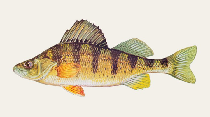
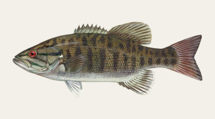
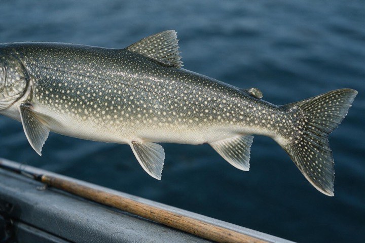
Seasons written for the Canadian year, tactics in local terms, and the waters we cover for each species.
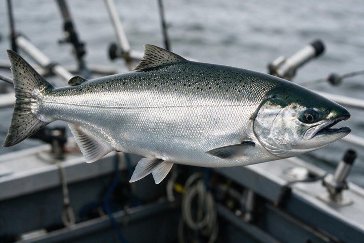
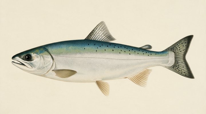
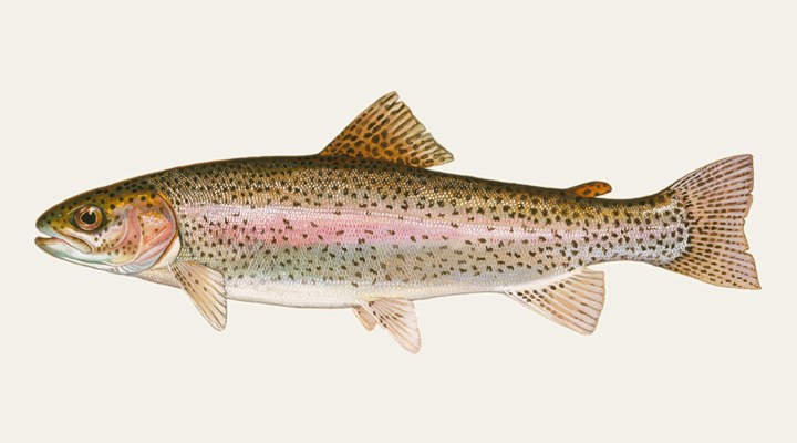
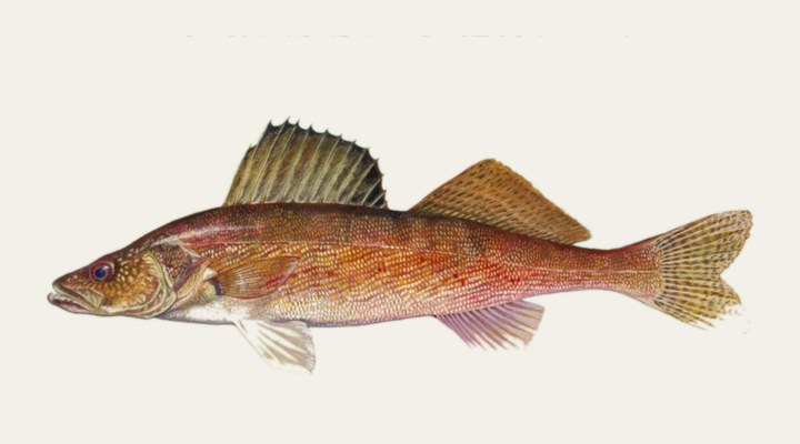
The coast, read like the rivers.
From Victoria and Sooke to Nootka Sound and Prince Rupert: 14 coastal towns and sounds on the BC coast with a modelled tide curve, the wind that decides the boat days and the salmon seasons as DFO sets them.
Coastal waters →Before you go: the licence
What it costs in each province we cover, read from the agency that sells it, on the date shown on each page. Prices step up from residents to other Canadians to visitors, and salt water in British Columbia needs a federal licence as well.
British Columbia
All recreational fishing in BC’s non-tidal (fresh) waters for anglers 16 and over.
Ontario
All recreational fishing in Ontario.
Alberta
All recreational fishing in Alberta for residents aged 16 to 64 and for non-residents 16 and over, bought with a Wildlife Identification Number (WiN)..
Saskatchewan
All recreational angling in Saskatchewan for anglers 16 and over who are not exempt, plus a Fisheries Habitat Certificate for anglers 16 to 64..
Manitoba
All recreational angling in Manitoba for anglers who are not exempt, for the licence year from 1 May to 30 April..
All 8 provinces and territories →
Open right now
Seasons that are open today, worked out from the rule each agency publishes and checked against two years it published. Not a list someone typed in last spring. A species with no published closure is not listed, which is not the same as open.
Ontario
Closes Mar 16, 2027.
Ontario
Closes Dec 1, 2026.
Ontario
Closes Apr 1, 2027.
Ontario
Closes Mar 16, 2027.
Ontario
Closes Jan 1, 2027.
Ontario
Reopens Jan 1, 2027.
British Columbia closed seasons → · Ontario closed seasons → · Alberta closed seasons → · Manitoba closed seasons → · Saskatchewan closed seasons → · Nova Scotia closed seasons →
How it works
Live data, all night
The Water Survey of Canada’s gauges, an open weather model, sun and moon: we read the same instruments the agencies publish, for every water we cover.
An honest report, every morning
Each morning the day’s report is generated: activity score, species plan, prime windows. A slow day is called a slow day, a modelled tide is called a model, and nobody here tells you the ice is safe.
Anglers close the loop
Real reports from real anglers refine what the data says. Share a catch and make the page better for the next person on the water.
Browse by province
57 waters across 7 provinces and territories, with full coverage rolling out from here.