Where it's on today
Every one of our 16 benchmark Australia waters has a live read this morning. 4 are scoring 4 out of 5 or better and 4 are slow. Water runs 13 °C to 29 °C. Pressure is holding steady on 8 of them, so the day comes down to water temperature and wind. 6 have a better-than-even chance of rain.
Albany
King George Sound, Oyster Harbour and the Southern Ocean beaches: Albany fishes two sheltered waters and a wild coast from the same town.
Brisbane
A river city with the bay at its door: bream and jew in the Brisbane River, snapper on the bay beacons and flathead on the flats within the suburbs.
Gold Coast
Surf beaches, the Seaway, the Broadwater and a network of canals: a city built on water that fishes from the sand, the rocks and the jetty in the same afternoon.
Moreton Bay
Brisbane’s bay: sand islands, shipping channels, artificial reefs and the flats where flathead, bream, whiting and snapper share a tide.
Adelaide
Gulf St Vincent at the city’s doorstep: council jetties, King George whiting over the weed and squid under the lights, all within an hour of the CBD.
Cairns
The tropical north: barramundi in the creeks and the Trinity Inlet, reef fish and pelagics off the Great Barrier Reef, and a wet season that runs the calendar.
Fishing reports for the capital cities
The city pages cover the harbour, bay or river on each capital’s doorstep, with the modelled tide, wind and the day’s best windows.
Sydney fishing report · Melbourne fishing report · Brisbane fishing report · Perth fishing report · Adelaide fishing report · Hobart fishing report · Darwin fishing report · Lake Burley Griffin fishing report
Dam levels today: NSW dam levels · Queensland dam levels · Victorian dam levels · SA reservoir levels · WA dam levels · Canberra dam levels · Tasmania dam levels · Sydney dam levels · SEQ dam levels · Melbourne dam levels · Perth dam levels · Townsville dam levels · SIPS permit (Queensland)
Know your fish
Seasons written for the southern year, tactics in local terms, and the waters we cover for each species.
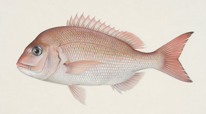
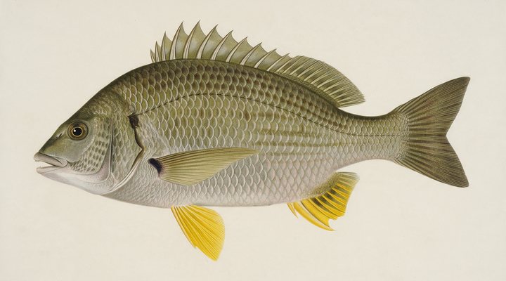
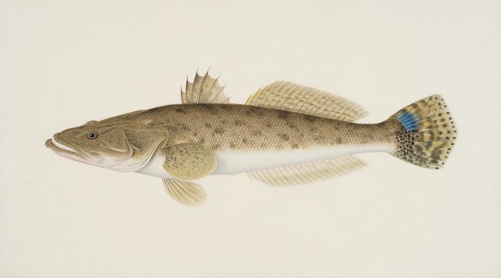
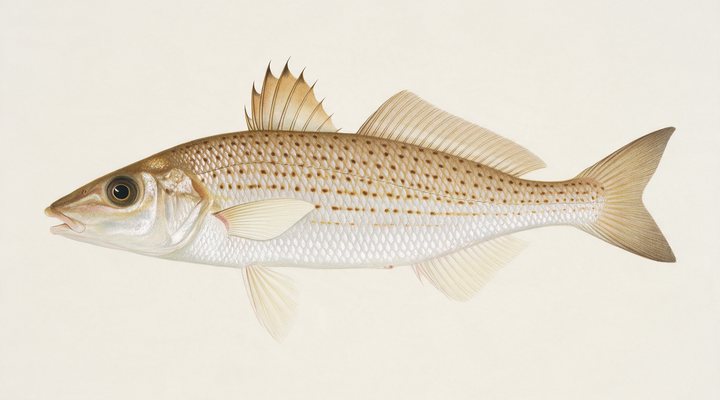
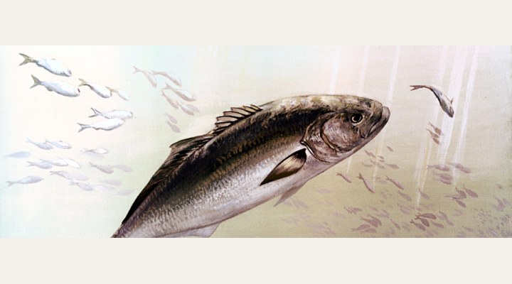
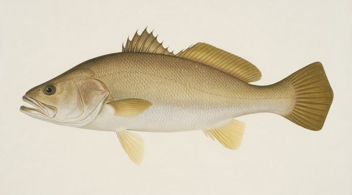
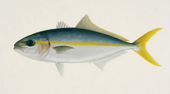
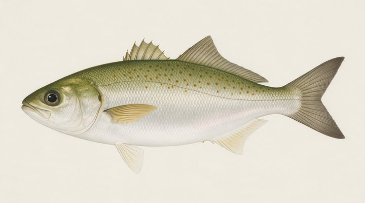
The coast, read like the lakes.
From Adelaide’s jetties to the Seaway walls on the Gold Coast: 206 coastal towns and bays with a modelled tide curve, wind that decides the day and the honest windows for moving water.
Coastal waters →Learn the water
Written for Australia, on the questions anglers here actually search for.
Before you go: the licence
What it costs in every state and territory, read from the agency that sells it, on the date shown on each page. Three of them charge nothing and say what they do require.
New South Wales
All fishing in NSW waters, fresh and salt: line fishing, spearfishing, hand gathering, trapping, bait collecting and prawn netting, and possessing fishing gear in, on or next to the water..
Victoria
All forms of recreational fishing in all Victorian marine, estuarine and inland waters: line fishing, bait and shellfish collection, yabby fishing, prawning and spearfishing, and using or possessing fishing equipment in, on or next to Victorian waters..
Queensland
Queensland has no general recreational fishing licence for salt or fresh water.
South Australia
South Australia has no recreational fishing licence.
Western Australia
Licences are sold by activity, not as one general licence.
All 8 states and territories →
Open right now
Seasons that are open today, worked out from the rule each agency publishes and checked against two years it published. Not a list someone typed in last spring. A species with no published closure is not listed, which is not the same as open.
New South Wales
Closes 15 June 2027.
Victoria
Closes 15 June 2027.
Victoria
Closes 15 June 2027.
New South Wales
Closes 1 Aug 2027.
New South Wales
Closes 1 May 2027.
New South Wales
Reopens 1 Dec 2026.
New South Wales closed seasons → · Queensland closed seasons → · Victoria closed seasons → · Tasmania closed seasons → · South Australia closed seasons → · Western Australia closed seasons → · Northern Territory closed seasons → · Australian Capital Territory closed seasons →
How it works
Live data, all night
The Bureau of Meteorology’s water gauges, an open weather model, sun and moon: we read the same instruments the agencies publish, for every water we cover.
An honest report, every morning
Each morning the day’s report is generated: activity score, species plan, prime windows. A slow day is called a slow day, and a modelled tide is called a model.
Anglers close the loop
Real reports from real anglers refine what the data says. Share a catch and make the page better for the next person on the water.
Browse by state
643 waters across 8 states and territories, with full coverage rolling out from here.