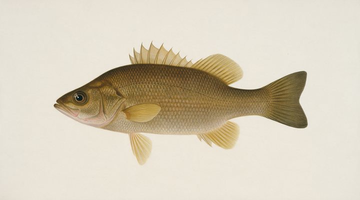
Australian bass
Excellent
Prime. Cast spinnerbaits, small hardbodies and surface lures tight to structure in the rivers; sound up the schools in the dams.
Updated Mon, 9 Nov 2026 from live weather and tide data
The Nerang below Hinze Dam: bass in the fresh reaches of the Gold Coast hinterland, with the dam’s closed zone and its stocked water upstream.
Sources: Bureau of Meteorology gauge 146002B, Open-Meteo, solunar calculated for these coordinates.
Nerang River has the water in the comfortable band where most of its fish feed through the day. The gauge reads 0.50 m, easing 0.11 over the week. Today brings a mixed sky, wind E around 3 km/h, rising pressure near 1019 hPa and a high of 22 °C. Water sits around 21 °C for the season (estimated). With the new moon, the solunar majors run 10:20 AM-12:20 PM and 10:41 PM-12:41 AM: the windows to build the day around.
Prime. Cast spinnerbaits, small hardbodies and surface lures tight to structure in the rivers; sound up the schools in the dams.
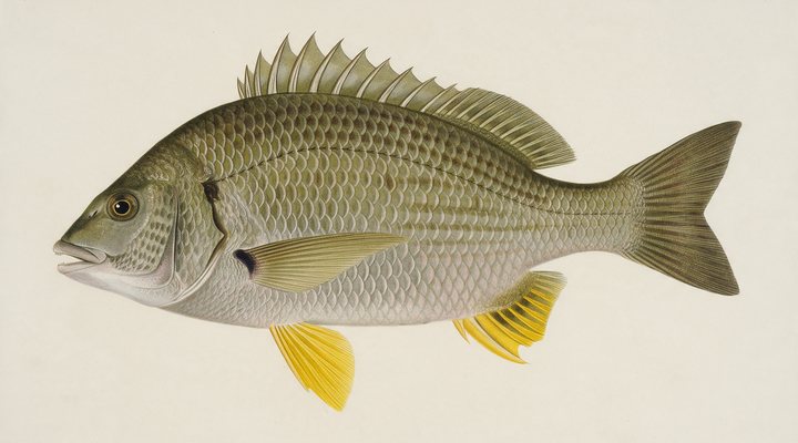
Prime bream weather. Cast small vibes, crankbaits and 2 to 3 inch plastics at every piece of structure on the rising tide.
Tie on: Soft plastic on a 1/4 oz jighead · Small hardbody, shallow diver · Squid jig, size 3.0 · Fresh pipi or worm on a small hook. Prime windows: 10:20 AM-12:20 PM, 10:41 PM-12:41 AM, 3:53 AM-4:53 AM. Warmer at 26 °C with likely rain: fish ahead of the front. The solunar majors shift about 50 minutes later.
Queensland has no general fishing licence, but rules and permits apply. Queensland fishing licence: cost, rules and where to buy →
Chasing australian bass here? Check the size and bag limits with Queensland DPI before you keep anything; the Australian bass page has the seasons and the tactics.
Hour-by-hour bite forecast for today from sunrise (04:49), sunset (18:11), the moon and today's score. Tap a bar to see why.
Solunar majors 10:20 AM-12:20 PM and 10:41 PM-12:41 AM; minor 3:53 AM-4:53 AM. New Moon, 0% lit.
Live readings from Bureau of Meteorology station 146002B (Nerang_R Glenhurst).
Bureau of Meteorology Water Data Online, station 146002B. Latest reading 2026-11-08 18:00.
Latest readings
The best day on Nerang River this week looks like Tuesday 10 Nov, at 4 out of 5, against 3 today.
Best day this week: Tuesday, 10 Nov — good at 4/5, rising pressure behind a front, typically the slowest.
A steady pattern: dawn and dusk carry the day.
Forecast-based scores, less reliable further out.
The species that matter on Nerang River: seasons written for the southern year, and how to fish each one. Today's ratings live in the report above.
The native sportfish of the east-coast rivers and the stocked dams. Surface lures in summer, deep in winter, and a river closed season for spawning. Prime. Cast spinnerbaits, small hardbodies and surface lures tight to structure in the rivers; sound up the schools in the dams.
Yellowfin bream on the east coast, black bream in the southern estuaries. Structure fish: rock walls, jetty piles, oyster racks, snags and pontoons. Prime bream weather. Cast small vibes, crankbaits and 2 to 3 inch plastics at every piece of structure on the rising tide.
Activity by species and month for the southern year, and how the water warms and cools. Tap any cell.
1 = slow, 5 = peak. Current month highlighted. January is midsummer here.
Typical surface temperature for this water type in degrees Celsius; today is around 21 °C (estimated, not a reading).
Real reports from real anglers, reviewed before publishing. Nothing here is copied from a shop or a charter. The water log below tracks each day automatically.
3/5 Fair. Fish the windows. A steady pattern: dawn and dusk carry the day. Australian bass led the card at excellent. High of 25 °C, wind to 29 km/h.
5/5 Excellent. Go now. Everything lines up: pressure, wind and light are in your favor. Australian bass led the card at excellent. High of 28 °C, wind to 19 km/h.
4/5 Good. Solid day ahead. Stable-to-falling pressure and workable wind line things up. Australian bass led the card at excellent. High of 24 °C, wind to 21 km/h.
Queensland has no general recreational fishing licence; permits apply on some waters and the limits and closures do. Details and where to buy →
Size and bag limits, closed seasons and marine park zones are set by Queensland DPI and change: confirm the current rules on the agency page linked from the Queensland licence page before you keep anything.
Queensland has no general recreational fishing licence and the river below the dam is not a stocked impoundment, so no permit is needed on it.
Nerang River is a river in Queensland, Australia, covered from the Queensland reports and listed in all Australia waters.
The Nerang leaves Hinze Dam in the hinterland and runs down through Advancetown and the town of Nerang toward the Gold Coast’s tidal waterways and the Broadwater. Above the tide it is a small freshwater river of pools and runs with plenty of timber, on the edge of a big city. The old Nerang station, 146002A, stopped recording in 1970, so the level and 30-day chart on this page come from the Bureau of Meteorology’s gauge at Glenhurst, station 146002B, less than a kilometre upstream; the Gold Coast’s tidal water has its own page.
Australian bass are the main freshwater fish, most active from spring to autumn, with a limit of two and a 30 cm minimum outside stocked dams. Mary River cod, one of the species stocked in Hinze Dam, are no-take in the river, so any that turn up must go back. Where the river becomes tidal, bream take over, and the 1 June to 31 August bass closure applies in those tidal waters.
Riverside parks and road crossings are the main access points; much of the rest of the bank is private or fenced, so plan around public land. Work the pools with small surface lures early and late, and slow-roll soft plastics or spinnerbaits past timber in the middle of the day. Keep well clear of the dam wall: Queensland bans all fishing from 100 metres upstream to 600 metres downstream of it.
The Glenhurst gauge shows rain and dam operations as they arrive: heavy rain on the hinterland, or water released from Hinze, can raise and colour the river quickly. The rain row and the pressure trend on the score are the best guides here, and the water temperature estimate, labelled as one, shows when the river is warm enough for bass to feed hard.
Queensland has no general recreational fishing licence and the river below the dam is not a stocked impoundment, so no permit is needed on it. Hinze Dam is a stocked impoundment: line fishing there needs a permit for anyone 18 or older. Limits, the Mary River cod rule and the closed zone below the wall are on the Queensland Government pages linked below.
Above Nerang the river runs up through Advancetown to the Hinze wall, and the dam, with its own page on this site, holds Australian bass, golden perch, Mary River cod, saratoga and silver perch according to the state’s stocking scheme list. The river and the dam make an easy pairing for a visiting angler: the dam for stocked fish under permit, the river for bass on light gear without one.
Yes. The old Nerang station, 146002A, has no level data after 1970, so this page shows the Bureau of Meteorology’s gauge at Glenhurst, station 146002B, less than a kilometre upstream, with the time of the reading and a 30-day chart.
Not right below it: fishing is banned from 100 metres upstream to 600 metres downstream of the Hinze Dam wall. Further down, the river is open under the normal limits.
Not on the river. Queensland has no general licence; a stocked impoundment permit is needed only for line fishing in Hinze Dam itself, for anglers 18 and over.
Check the daily report at the top of this page: it is regenerated every morning from live data. Today's read: Fair. Fish the windows. A steady pattern: dawn and dusk carry the day.
 Pablo Ruiz Quintero
Readings refresh on a 30-minute window. The full method, with every figure and its source, is on How our reports are made. Something wrong here? Tell us and it goes in the log with the date.